Professional Surveying and Mapping
  • Topographic
  • Construction
  • Alta Surveys
  • UAV Ortho Imagery
  • High Accuracy -Survey Grade -Terrestrial Scanning
  • High Accuracy Scanning for floor flatness analysis
  • Laser scanning for movement studies -retaining walls
  • GeoSync® Cloud deliverables with secure access

  • Interior Mapping
  • Mapping for Facility and Emergency Management
  • As-Built and Construction documentation
  • Integration with and verification of existing architectural models
  • Bundled Geoslam™ products with training and technical support
  • GeoSync® Cloud deliverables with secure access

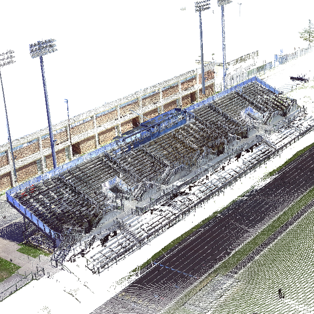
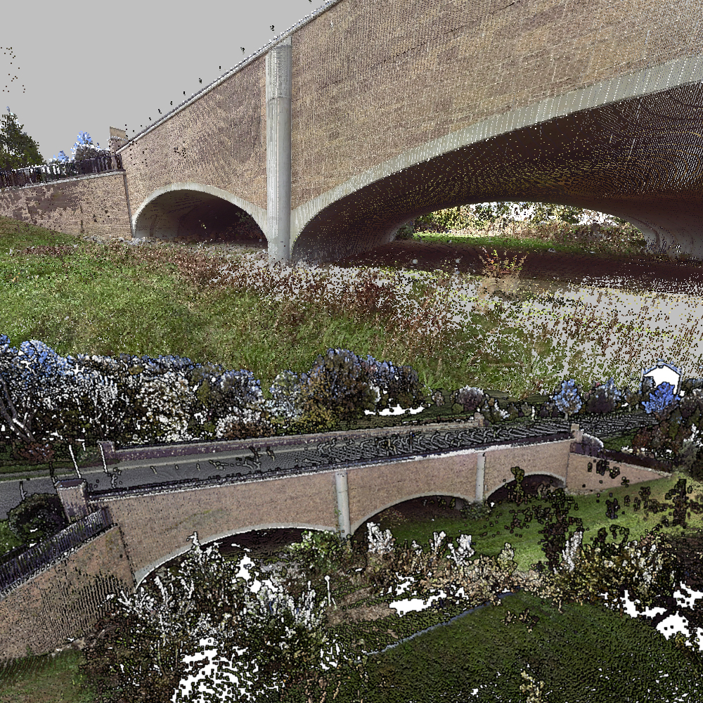
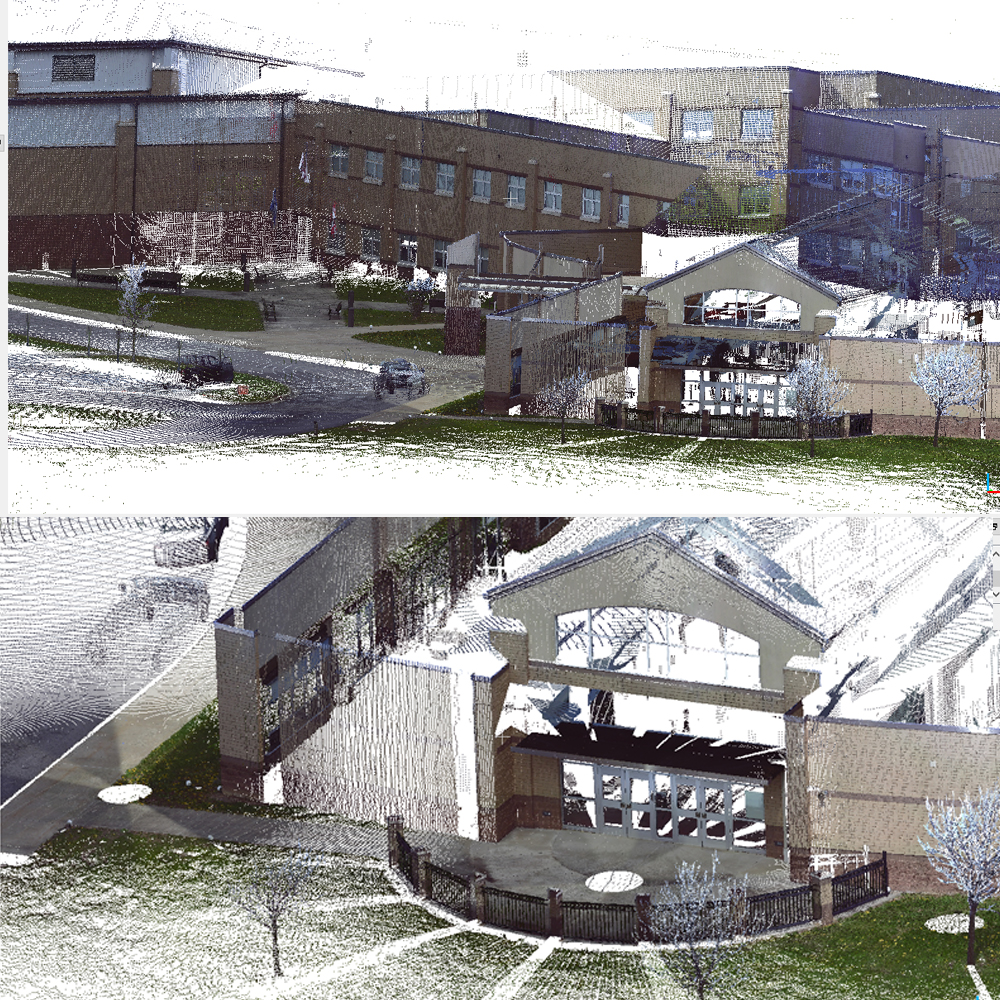
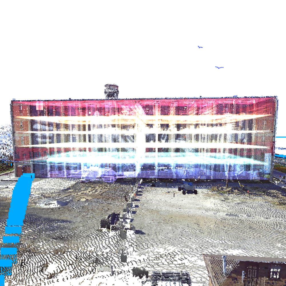
  • LIDAR Surveying - 3D MAPPING
  • Exterior Scanning and Photo Documentation
  • Site documentation using UAV's
  • Mapping for Facility and Emergency Management
  • As-Built and Construction documentation
  • Integration with and verification of existing architectural models
  • GNSS data capture and GIS data services
  • Bundled Geoslam™ products with training and technical support
  • GeoSync® Cloud deliverables with secure access

  • Asset Management Solutions for Utilities
  • Mobile, web and desktop mapping with GNSS integration
  • GIS centric mapping and inventory solution
  • Professional training, technical support and consulting
  • Host, manage and deliver facility data
  • Full data management -organize and share your data, records, Scans, photos, and drawings
  • Powered by GeoSync® GOand GeoSync® Cloud
  • Data Collection
  • Host manage and deliver facility data
  • Data management - organize and share your data, records, Scans, photos, and drawings

    Your own Branded Notification App
  • IOS and Android apps ready for download
  • Displays your Logo and links to your organization
  • Boil Water & Consumer Advisories
  • Billing and Late Fee Reminders
  • Automated Notice of Construction and Maintenance Area
  • Notice of Hydrant Flushing Areas and Dates
  • Community Service Messages
  • Link to Online Bill Pay
  • Integrated Map of Advisory Area
  • Branded with Your Agency Name, Logo, Colors and Online Store Presence
  • Powered by GeoSync® Cloud

    E911 and EM Mapping Solutions
  • Mapping and data management with GNSS integration
  • Professional training, technical support and consulting
  • Powered by GeoSync® GOand GeoSync® Cloud

  • AEC
    SCANNING

    High Speed Architectural mapping
    and point cloud creation for BIM base models

    Read More

    GeoSync
    cLOUD SOFTWARE

    Flexible geospatial
    Framework for Data management

    Read More