Software Solutions
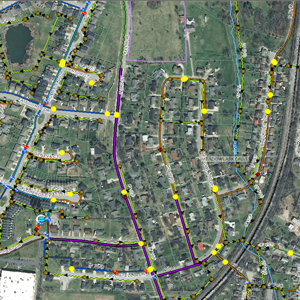
GeoSync Cloud is a map based framework for managing, sharing, and integrating maps, UAV images, point clouds and 360 images. Create stand alone applications or extend existing applications. The project / site framework provides for easy access to large and complex data sets.
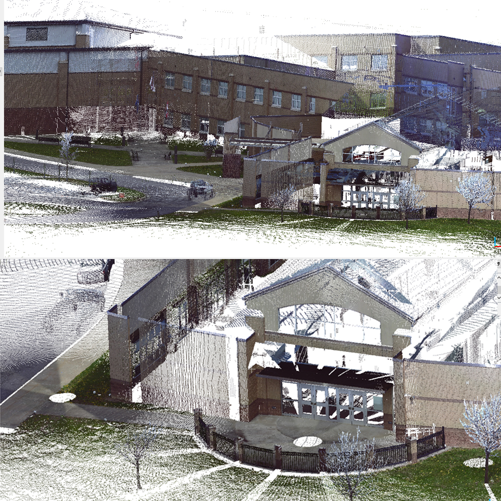
INTERIOR
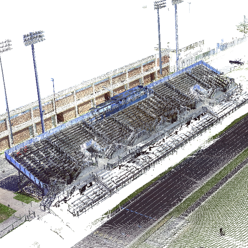
SCANNING
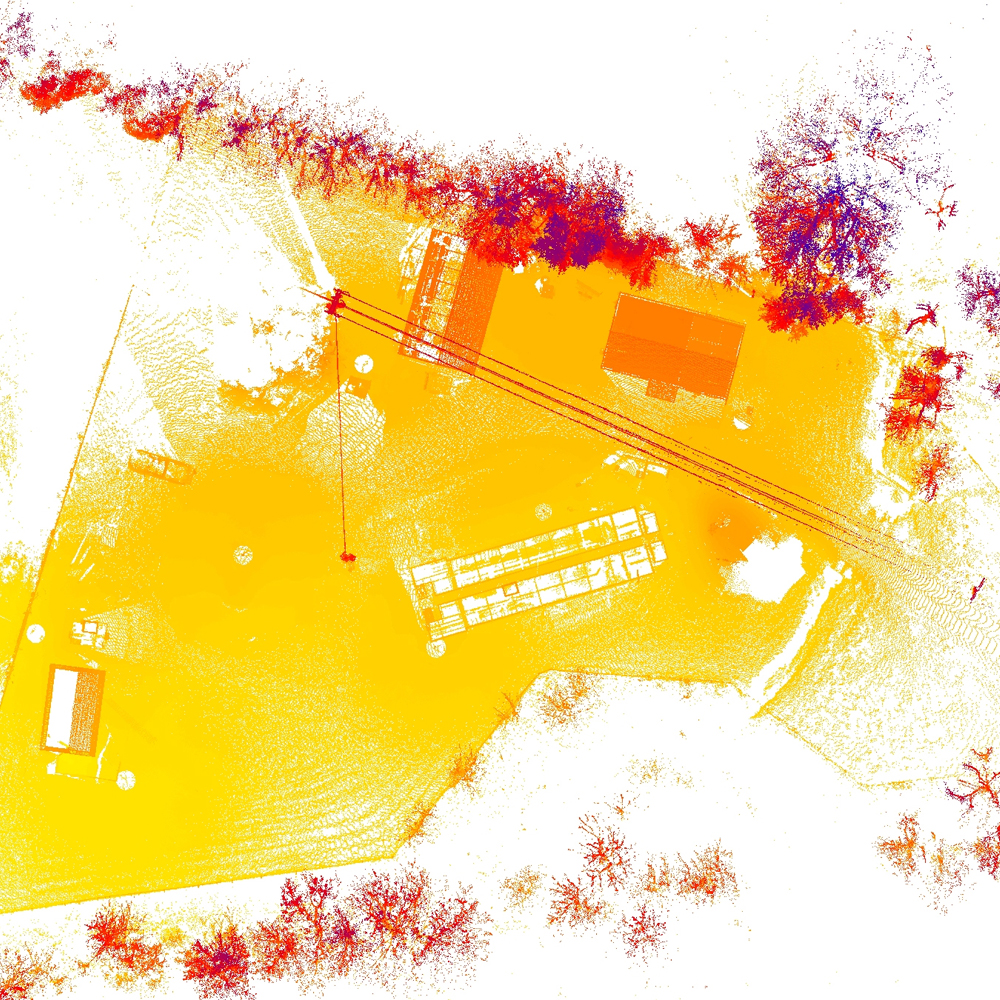
High Speed Architectural mapping
and point cloud creation for BIM base models