About Us:
Background:
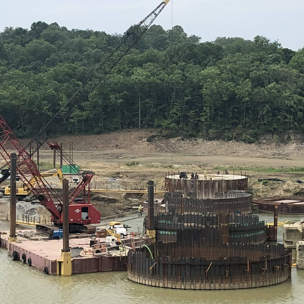
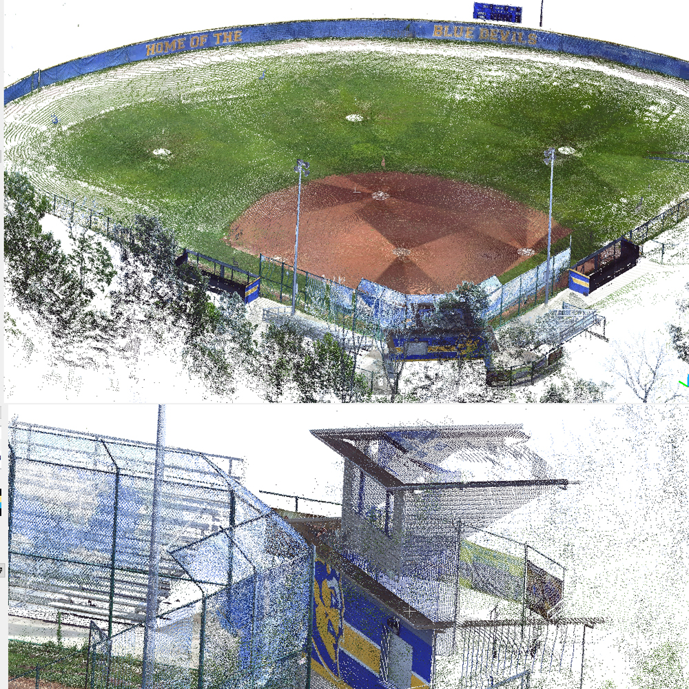
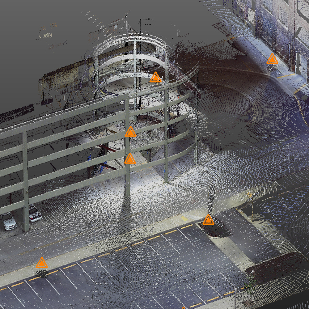
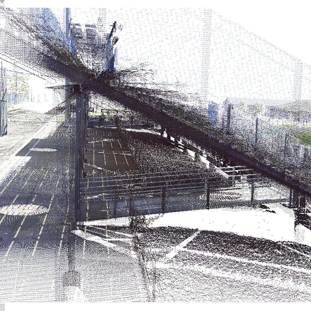
CDP Engineers was formed in 1989 offering professional engineering and land surveying services to both public and private clients. While today we are focused primarily on geospatial solutions we have a rich successful history of providing design, study and planning services for numerous infrastructure projects in the areas of water/wastewater, stormwater, transportation, landscape architecture, and site development. We draw on this valuable experience and tradition to continue to deliver high quality services for our clients. MapSync was formed in 1994 through a partnership of CDP Engineers and In-House Solutions to build applications and offer services integrating GPS, GIS and Data management for utilities and local government entities. Focusing on what was then very new technologies (GPS, desktop GIS) MapSync became a leader in geospatial solutions and services helping and empowering hundreds of communities and thousands of users to integrate GPS and GIS into their everyday work processes.Cdp-mapsync represents a merger of CDP Engineers and MapSync creating a unique company with strong professional surveying and mapping capabilities as well as cutting edge technology products and expertise. Today the high quality service tradition continues through powerful 3D applications, workflow solutions and services utilizing new technologies like laser scanning, UAV data capture, cloud based data management, and web based software development integrated with GIS. We take great pride in creating and delivering products and services people and communities can use in their everyday work… to have a positive impact on quality of life. Our products and services…
Cdp-mapsync offers mapping based asset management solutions and services for utilities, communities, and organizations providing a complete platform for mapping, viewing, tracking and reporting asset locations and work activities. Solutions are implemented and supported by experienced professionals using GeoSync Cloud Asset Management Tools, a proven web based mapping platform developed and managed by cdp-mapsync. GeoSync Cloud is a flexible easy to use solution providing software tools for Windows desktop and all your mobile devices, including Apple and Android. In addition GeoSync Cloud works with most GNSS (GPS) platforms and easily integrates with existing ESRI data and solutions.