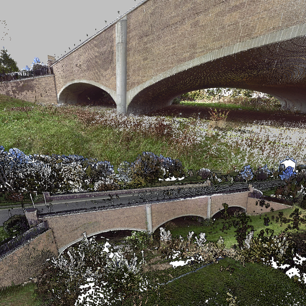
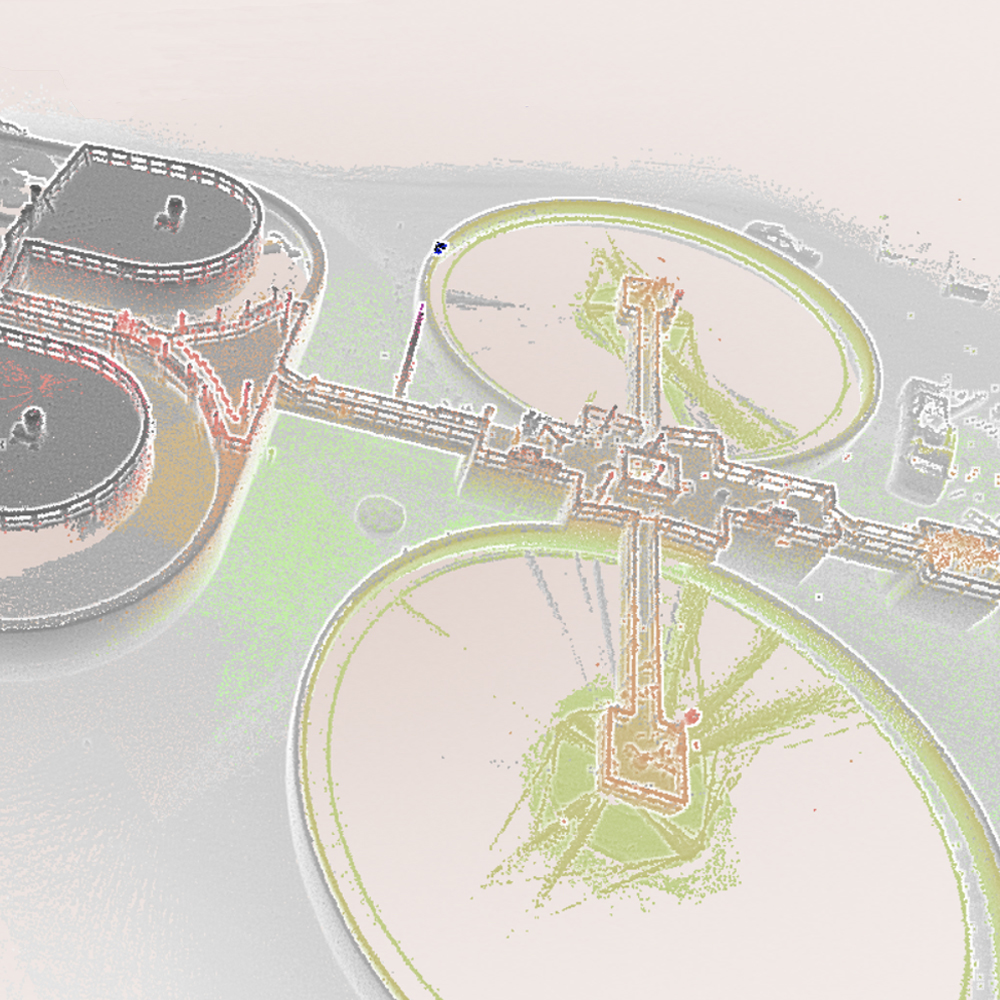
3D Mapping - mobile lidar
MapSync utilizes scanning for a variety of documentation of both buildings and mechanical equipment. We document as-built existing conditions in a number of ways creating interactive scenes and 3d point clouds that are true to scale. We provide the point cloud and the viewer to display both 2D and 3D data in ways that are both intuitive and impactful. We can provide workflows that provide users precise control over how data is organized, delivered and viewed in many formats.
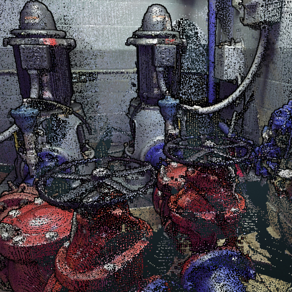
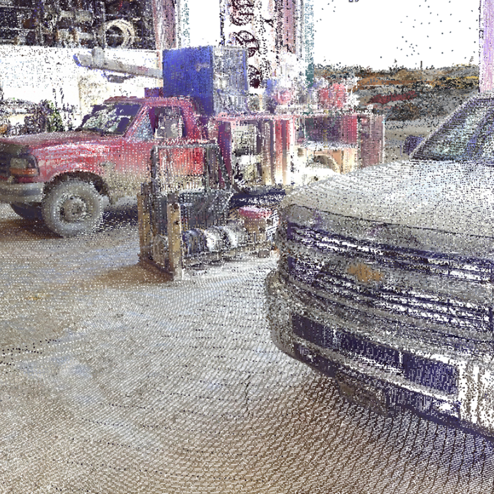
We can capture and publish 3D point clouds from practically any source to keep your data up to date and working toward your important goals. We employ hardware that captures and models complex 3D data up to 10 times faster than other methods, this allows us to deliver rapid results that save customers time and money. We strive to scan in the morning and deliver output in the afternoon, within minutes we can build a highly accurate 3D model of any indoor, underground or difficult to access environment. Our staff of software designers can custom develop and taylor custom solutions for your particular workflow. We strive to make everyday technology for everyday work. Give us a call to discuss your next project.
We can capture and publish 3D point clouds from practically any source to keep your data up to date and working toward your important goals. We employ hardware that captures and models complex 3D data up to 10 times faster than other methods, this allows us to deliver rapid results that save customers time and money. We strive to scan in the morning and deliver output in the afternoon, within minutes we can build a highly accurate 3D model of any indoor, underground or difficult to access environment. Our staff of software designers can custom develop and taylor custom solutions for your particular workflow. We strive to make everyday technology for everyday work. Give us a call to discuss your next project.
data
collection
We bring innovation to GIS data collection
Give us a call to discuss your next project