Professional Surveying
Background
CDP Engineers was formed in 1989 by partners David Carter and Lewis Dixon who are both dually licensed surveyors and engineers. Much of their early work was related to the field of surveying, mapping and construction layout. CDP was one of the very first firms in the Commonwealth to recognize the value and immense possibilities afforded by the use of GPS equipment and software. In 1998 CDP and Ron Householder formed MapSync Company to focus on data collection and GPS mapping services. 30 Years Later, the investment in technology has payed off, CDP / MapSync remain a leader in the field of surveying. Today it is apparent that continuing to stay abreast of current trends and advancements in engineering and surveying are imperative in maintaining a position of leadership in our field.
Relative Experience:
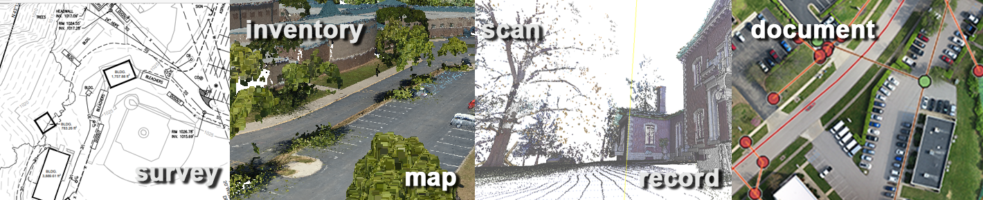
CDP and MapSync experienced growth and success as a result of their dedication and soon began to expand into new disciplines and attain a greater diversity of clients and projects; but even in light of all the changes surveying remained our core focus, and that dedication to surveying remains to this day. The CDP/MapSync Geomatics group provides surveying support for many local and regional firms, we provide surveying services for clients in both public and private sector and have accumulated knowledge and insight into many different fields. Among many surveying services, we provide:Conventional surveying
Conventional surveying projects are a staple of our work at CDP. Our crews are well-versed in proper procedures, standardized data collection terminology and commonly accepted industry standards. Our crews use state-of-the-art equipment that is well maintained, calibrated and adjusted on a regular basis.GPS Field Data Collection
Our field crews have extensive training and experience working with the latest in mapping grade and survey grade GPS technology from Trimble. We have designed data dictionaries for collecting attribute data to accommodate many different projects. We utilize Trimble collection software. This configuration of field software and hardware allows our crews to be productive in the field while maintaining a high level of accuracy and quality control.ALTA Surveys
When a non-residential parcel of land is sold or acquired, a financial institution or lender typically requires title insurance on their secured loan. A prerequisite to issuing title insurance is a very thorough, comprehensive and accurate survey that meets the stringent specifications established by the American Land Title Association. In the past 5 years, we have completed dozens of ALTA surveys for clients including Property Management companies, Attorneys, Architects, Engineers, Lending Institutions, Developers and Manufacturing entities.GPS Post Processing and GIS Integration
Once GPS data is collected in the field, it is critical that the office procedures for integrating this data are stringent and structured. Our analysts (or data entry technicians) average more than 8 years of related experience. This experience includes, computer programming, field data collection, geodatabase design, custom GIS tool design, GPS post-processing, and quality control.Utility Surveys
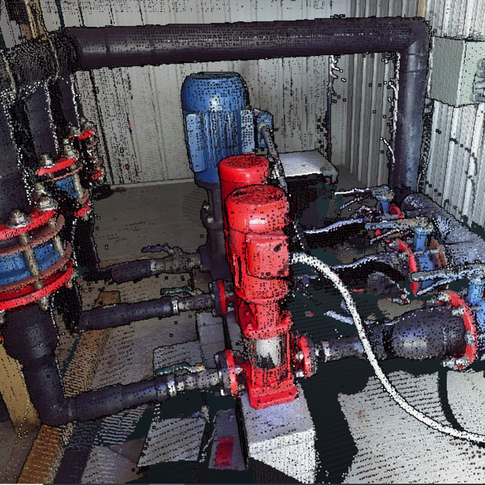
A key component in asset management for utility companies is the ability to accurately locate, inventory and describe features, infrastructure and equipment. For nearly 30 years we have been on the forefront of utilizing state-of-the-art surveying devices to create scalable, adaptive workflows and data management procedures to assist clients in maintaining the most comprehensive database for their operations.Easement Preparation and Acquisition
Our professional staff of surveyors all have over 25 years’ experience conducting research, interpreting and resolving record documents and creating easements for access, utilities, construction, and landscaping. We also have surveyors who acquire and notarize the documents for recording.Project Management
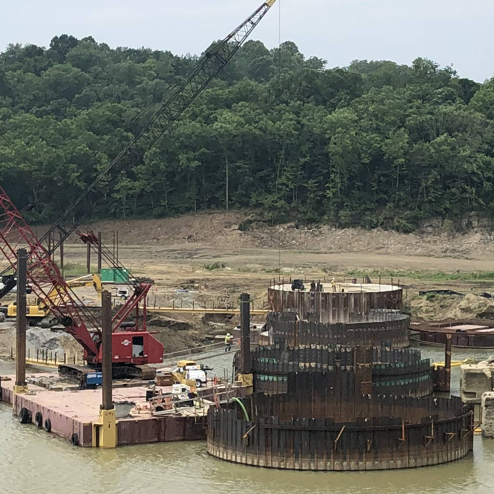
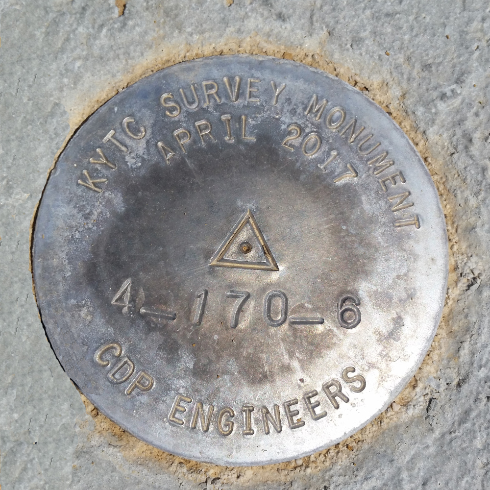
Our project managers have many years of experience delivering accurate, complete, timely, and cost-effective products and solutions. In the last few years, we have successfully completed transportation and highway projects for the KYTC and several municipalities. We have a record of working closely with our clients to ensure that we tailor our project approach directly to the specific needs of the client. We are also continually attempting to identify cost saving measures that will help keep the client’s costs low while maintaining a high level of quality in the final product.