Interior Scanning
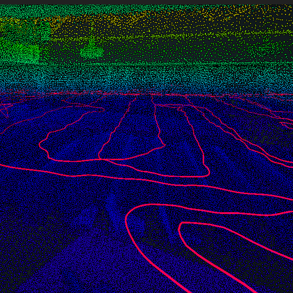
CDP utilizes the Geoslam Zeb Revo to map interiors as fast as a surveyor can walk. Within minutes you can be collecting data and mapping to an accuracy level of +/- 15mm. This versatile technology is adaptable to any environment especially complex and enclosed spaces, without the need for GPS or multiple setups.
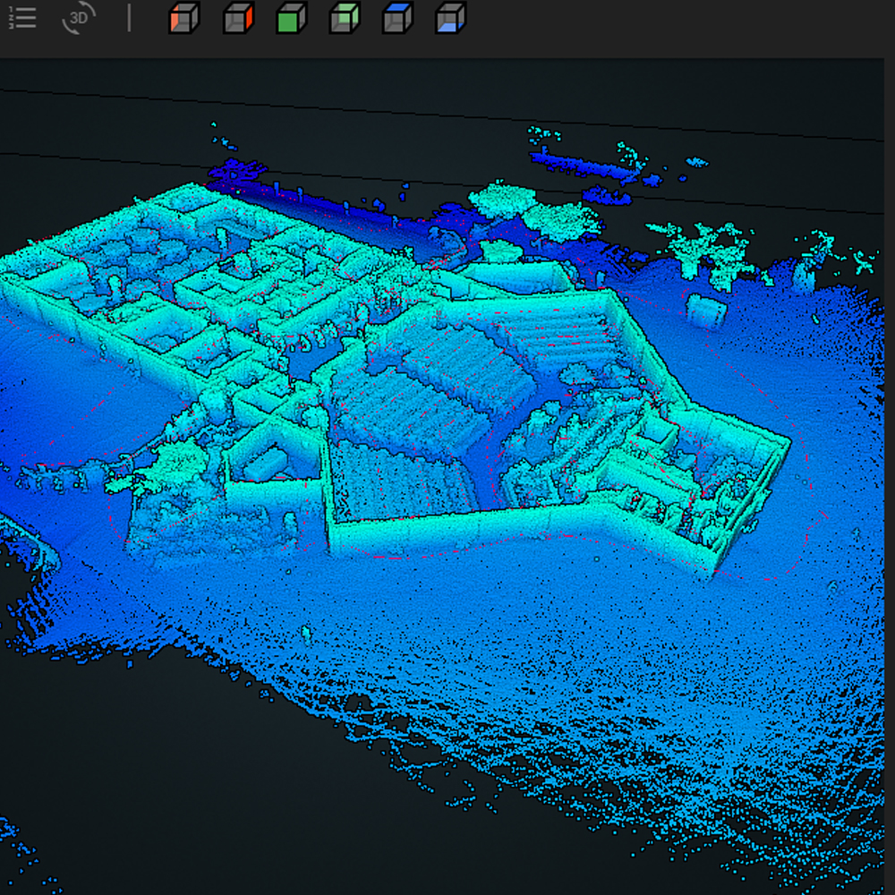
The handheld utilizes quick and easy workflows with drag and drop functionality that produces results in minutes. Using SLAM processing CDP can generate accurate 3D point clouds within hours of visiting the site. This technology is ideal for retrofiting existing enviroments or creating spatial studies showing all the elements within the space.
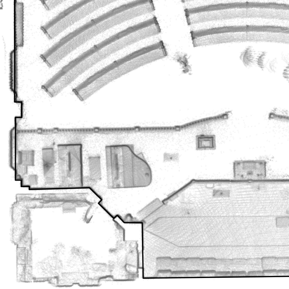
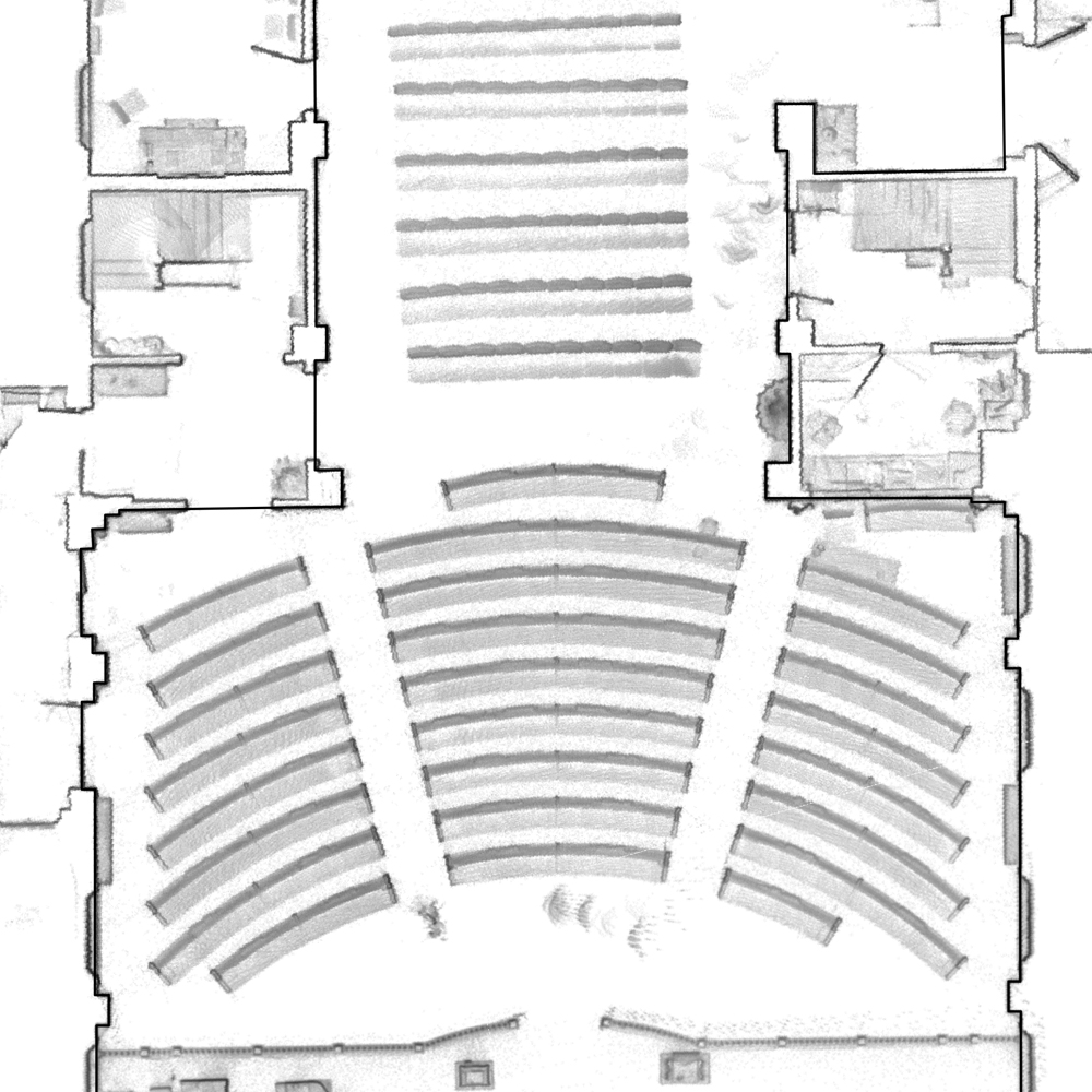
Using Geoslam Draw we can output a floor plan that utilizes images to depict the point cloud with little to no noticeable slowdown within CAD. See the links below to check out a couple of spaces we have mapped lately. We also have a CAD file sample for your use.